We are well into the 2024 hurricane season, and the Atlantic Ocean has been eerily quiet
Earlier this year, the meteorology world predicted a potentially historic hurricane season for 2024 with above-normal hurricane activity in the Atlantic basin. The National Oceanic and Atmospheric Administration (NOAA) outlook for the 2024 Atlantic hurricane season predicted an 85 percent chance of an above-normal season, a 10 percent chance of a near-normal season and a 5 percent chance of a below-normal season.
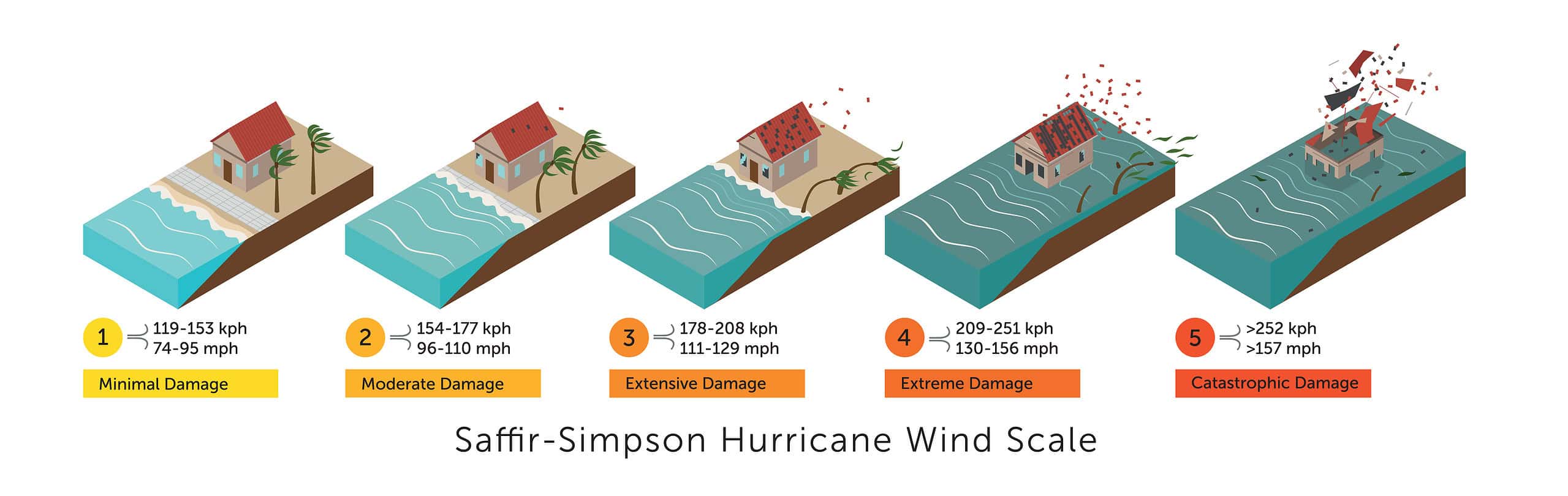
The forecast was for 17 to 25 total named storms (winds of 39 mph or higher). Of those, 8 to 13 would become hurricanes (winds of 74 mph or higher), including 4 to 7 major hurricanes (Category 3, 4 or 5; with winds of 111 mph or higher).
Instead, here we are in mid-September, a peak period for activity and so far the Atlantic Ocean has been unusually quiet. In fact, history has been made for the longest lull ever without any significant action. The Pacific Ocean, on the other hand, has had a very busy typhoon season as well as higher-than-normal temperatures, massive wildfires and flooding in the western US.
So, where are all the hurricanes? Did the experts get it all wrong? It didn’t seem so when Beryl came along in July as a Category 5 hurricane. Deadly and destructive, Beryl impacted parts of the Caribbean, the Yucatan Peninsula and Texas. It was the earliest-forming Category 5 storm on record and only the second such storm in the month of July, other than Hurricane Emily in 2005.
A weather system in the Gulf of Mexico in early September ended the lull when a tropical storm formed and later became Cat 2, Hurricane Francine. Francine slammed into Louisiana and then Mississippi, Alabama and Tennessee, causing extreme rainfall, dangerous flooding and high winds that knocked out power to hundreds of thousands of homes. Even Florida didn’t escape Francine as the panhandle town of Apalachicola recorded the highest rainfall from Francine of 12.75 inches in total.
But another two months of storm risk still lies ahead for us and we shouldn’t be resting on our laurels. All the ingredients are there for things to liven up; a developing La Niña, high ocean temperatures and September and October are when hurricanes and tropical storms most favor rapid development. So, there’s still plenty of time for Florida to see some dangerous tropical weather.
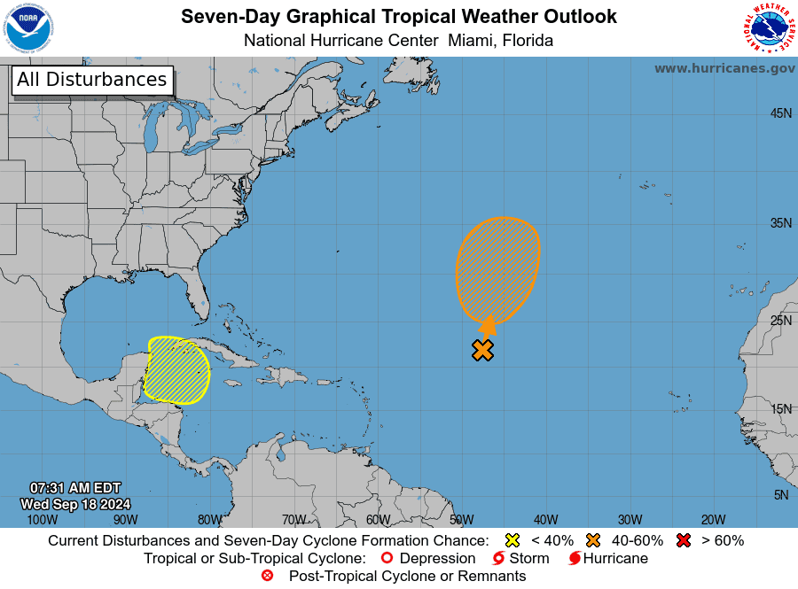
At time of press, the National Hurricane Center is tracking four systems in the Atlantic basin. One of those systems has formed and has become Tropical Storm Gordon, the seventh named storm of the 2024 hurricane season. Presently, Gordon is not expected to threaten Florida. Another potential tropical cyclone has formed off the southeast US coast and is expected to become Tropical Storm Helene. Powerful winds and heavy rainfall are already affecting parts of N. Carolina.
We may be experiencing an unusually quiet hurricane season so far but when it comes to extreme weather, preparation is key. One of the best ways to keep yourself and loved ones safe is to prepare early and heed warnings from public officials. Despite improved early warning systems, all tropical storms can be unpredictable.
Sign up for alerts on your smartphone; know your evacuation zone and route; stock up on water and supplies and always have a full tank of gas.